
Steer Straight Ahead
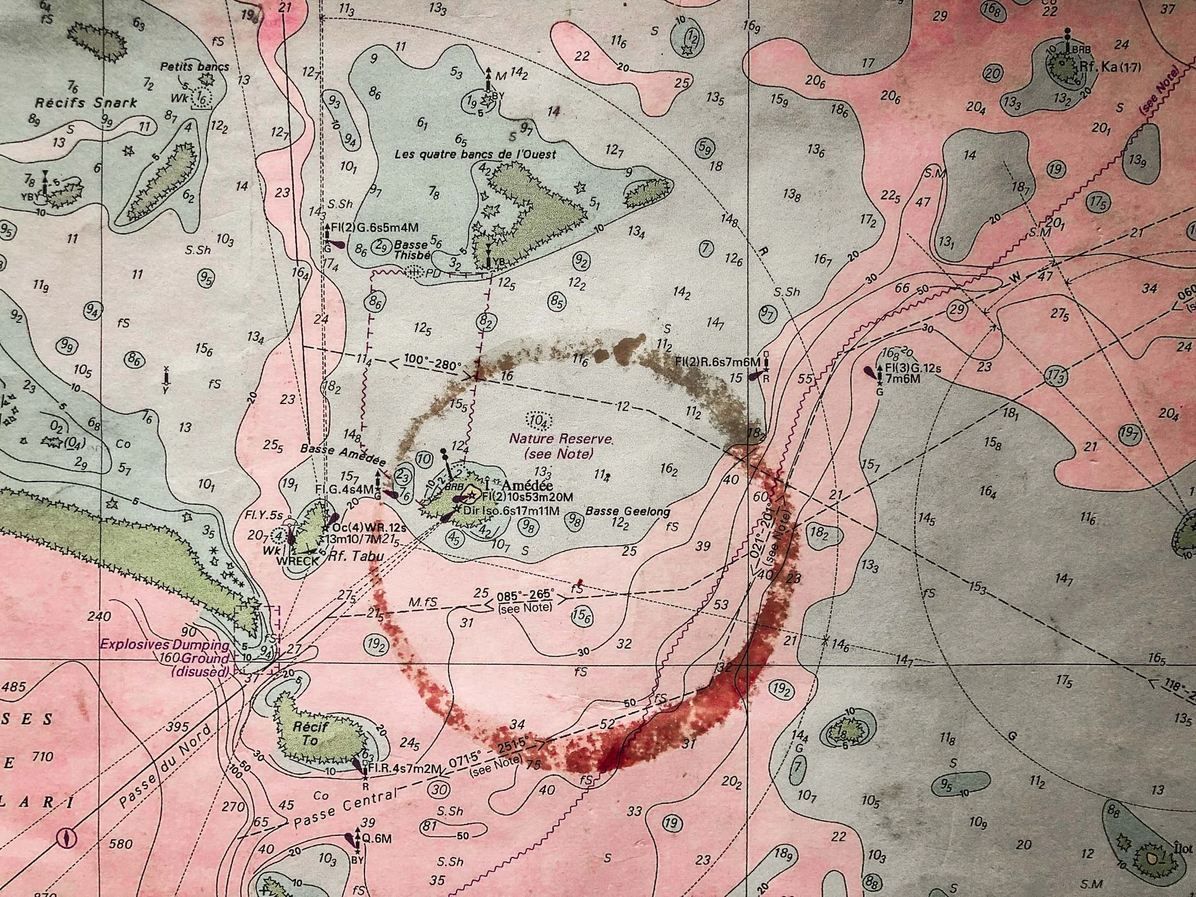
I know that I’m a bit of a chart nerd… I love them. Especially when they smell of mildew, and have the occasional ed wine stain circling a random feature. Electronic charts are also wonderful, in a different way, allowing small boats access to corners of the world that would have been unthinkable for most, pre-satellite. But if you want to dream…to make sweeping plans… to romanticise the voyage ahead, you need a big paper chart, spread wide, on a timber table and perhaps a set of brass dividers. Now you’re half way to untying the lines!
That said, there is one big problem with paper charts. It’s the three dimensions into two, conundrum… inadequately solved by projections. Crossing from Auckland to Melbourne a few years ago we calculated we would have saved 24 miles by following a great circle route rather than a fixed course. That’s four hours over an eight day journey.
Perhaps that’s why I found the article below so thrilling. Our brains are conditioned by standard world maps, to believing that our planet is really a cylinder rather than a sphere.
Here’s the Question.
Can you Sail From The USA To India In A Straight Line?
Without much thought the answer would be “NO!” … you’ll run into Europe and Africa, or most of South East Asia. But then think again, throwing out the preconceived idea of a fixed view point for out planet!
From the IFL Science website
Representing a 3D world on a 2D map is always going to end up with some issues and some compromises. No matter how accurate you try to make it, you will end up with stretched areas, squashed countries, or else parts of the map cut out altogether.
The map you are likely familiar with is one based on the Mercator projection, published by cartographer Gerardus Mercator in 1569. It's a cylindrical map projection, in which you place the globe into a cylinder and then project each point of the map onto a corresponding point on the cylinder. Meridians (imaginary vertical lines going through the Earth from the North to the South Pole) are mapped onto vertical lines equally spaced apart on the map, and circles of latitude (imaginary horizontal lines from east to west) are mapped onto equally spaced horizontal lines.
The Mercator projection is good for navigation because it represents courses of constant bearing as straight segments, meaning ships have to course correct for the curvature of the Earth less frequently. However, it also results in distortions of size and shape. In cylindrical maps – as is the case with the Mercator projection – areas around the equator remain roughly accurate, but the further you move from the equator, the more distorted and inflated landmasses become.


In short, straight lines that don't follow one line of latitude or longitude on a globe do not necessarily appear as straight lines on a flat map.
Which is why, in the actual world, if you wanted to travel to India from the USA, you wouldn't have to do much steering.